
The PaCaBa (Parking Cars Barcelona) dataset is a WorldView-3 stereo satellite image dataset with labeled parking cars. It consists of three parts:
- Raw geotiff images with polygon annotations of cars.
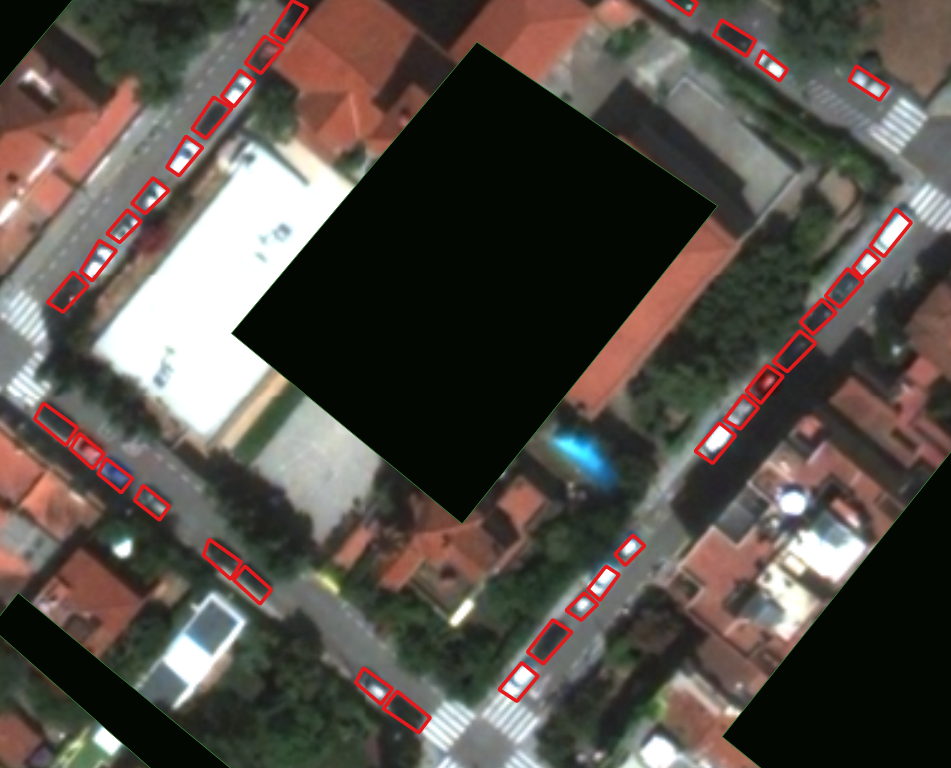
- Image patches of size 540×540 with rotated bounding box annotations of parking cars. This part is suitable for training and testing of a parking cars detector.
- Image patches of size 540×540 with rotated bounding box annotations of cars (either moving or static) in both images. This part is again suitable for training and testing, but for the task of general car detection in satellite images.
The image data is available for four connected regions in the city of Barcelona covering roughly 5 km2. The four regions of interest include all street areas whereas other areas are masked out in the images. Annotation of these areas has given 12088 and 12248 cars in the individual stereo images, respectively, and 7303 parking cars.
Download and Use
The dataset is freely available for non-commercial research use:
![]()