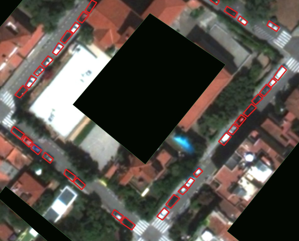
Car Occupants Counting from Near-Infrared Photos
Status: open Supervisor: Robert Sablatnig Carpacity is a young company from Vienna that has recently finished a research project with the Institute of Spatial Planning at TU Wien. They use traffic sensors and LED walls to change how road traffic is analysed and stimulated. Its mission is to accelerate the decarbonisation of how people move … Continue reading Car Occupants Counting from Near-Infrared Photos